
Elephant country on a ridiculous scale, with red dust, river drama, rough roads, railway history, and long stretches of Kenya.
Big country, no small talk
My first time in Tsavo was in early 2003, at a time when heading out of Nairobi and into the bush still felt like crossing into a different version of Kenya. Visiting the national parks was something adventurous. Something exotic. Something wild.
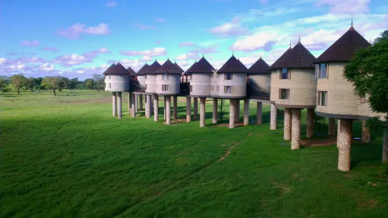
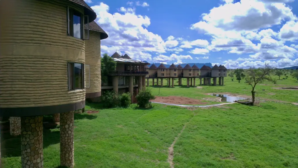
We stayed at Salt Lick Lodge. Quite an introduction to the world of safaris! Tsavo is quiet wilderness. Vast terrains, Really vast. But definitely not empty.
Tsavo has scale. Serious scale. We’re talking about the size of a small country. Literally. Tsavo East alone is 13,747 square kilometres, and Tsavo East and West combined are roughly 22,000 square kilometres. Almost the size of Rwanda!
That’s probably what the British realized in 1948, too. Tsavo was first established as one national park, and later split into Tsavo East and Tsavo West for administrative reasons. Yeah, it’s a lot of terrain to manange. On the ground, it remains one huge ecosystem with a road and railway cutting through the middle of it.


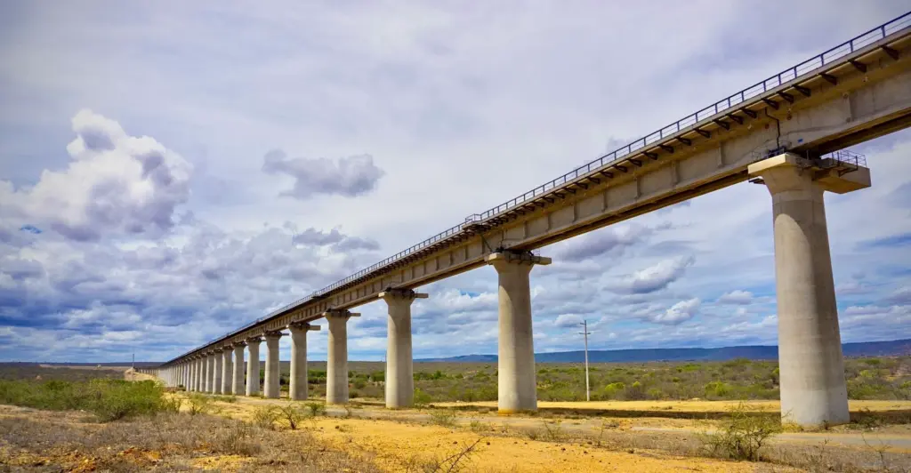
The road that cuts through it
The Nairobi to Mombasa corridor runs between the two parks for a long stretch. You are not just driving down a major road. You are moving through one of Kenya’s biggest wilderness areas. This is a cornerstone of Kenya’s history, from the old Uganda Railway to the newer Standard Gauge Railway crossing the same landscape.
Zebras by the roadside do not feel especially surprising. Monkeys even less so. And somewhere in the back of your head there is always the quiet understanding that an elephant could decide it has somewhere to be and that your opinion on the matter will count for exactly nothing.
Red dust and river teeth
Tsavo East is drier. More exposed. More red earth. More heat sitting in the scenery. It looks and feels harder, drier, rougher.
The sheer scale is apparent here too. Long open country. Dust hanging in the light. Big empty-looking stretches that turn out not to be empty at all. Then you get close to the river systems and find the whole place buzzing with life. You meander through harsher country, then hit the Galana zone and suddenly there is movement everywhere. Elephants. Zebras. Giraffes. Crocodiles everywhere. Lots of them. KWS highlights the Galana River, crocodiles, giant herds of dust-red elephants, and the park’s wide open bush as core features, which is exactly what you get on this side.
In the rains, the bush thickens, water spreads out, and wildlife gets harder to spot. Timing matters in Tsavo East. Drive through it in the rainy season, and you will still enjoy the scenery. The animals are elsewhere, and there is little you can do about it.
Ashnil Aruba Lodge is a good base for that side of the park. I just wish I had learned the lesson about the rainy season before that time, because there were exactly zero animals to be seen. Except the insect eating me alive when I sat outside in shorts, that is. They, on the other hand, were plenty!


The shortcut fantasy
Relying on Google Maps for time estimates is not recommended here. I’ve tried, so you don’t have to! Predictions may be technically correct based on distances and speed limits, but in real terms, speed varies a lot depending on the quality of dirt roads, and you don’t just drive from A to B. You stop, look at sceneries and animals, take some pictures, then drive on very slowly to see what else there is to see. You brake for zebras. You slow for giraffes. You stare at elephants longer than planned. Then the light starts going and you realise your clever little shortcut has become a full day of bumps, dust, delays, and revised opinions.
Tsavo East may be a throughway to Malindi, but definitely not a shortcut. It may look like one on paper. And yes, technically, it is a route. You can leave Nairobi early, reach Manyani before lunch, and convince yourself the plan is working beautifully. Luckily, the rangers who let me out of the Sala gate closer to 21:00, two hours after closing time, seemed to understand.


Greener, thicker, trickier
Tsavo West has a different mood. Greener in parts. More mixed. More folded. More bush. Less of that wide-open red-country feel. It is not softer exactly. Just different.
On that first 2003 trip, we didn’t have the ideal car for the trip. In thicker country, wildlife can sit just below your line of sight while you pretend to be seeing things. In Tsavo West, overconfidence in low vehicles comes at a cost.
After some of the rougher, drier country elsewhere in the wider system, you drive into totally different sceneries, like Mzima Springs. Suddenly there is lushness. Shade. Water. A softer feel. Tsavo is so much more than just dust and thorn.

Impressions that Last
Tsavo is different. Huge. Vast. And definitely not a place you cut through to save time. There are long stretches where you wonder where everything has gone, and others where the scale of it takes over completely. Then suddenly, a river bend full of life. Elephants in the dust. A view that makes the long hours worth every minute.
Amboseli, its next-door neighbour, makes a fast first impression. Tsavo is more of a slow burn. Bigger. Slower. More spread out. But not a place you forget easily.
With the road and railway cutting through it, Tsavo is impossible to miss on the journey between Nairobi and Mombasa. The railway is often called the backbone on which Kenya was built. Add the wildlife, the scenery, and the infrastructure that helped define the country, and Tsavo can fairly be called Kenya in a nutshell.